Research
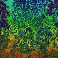
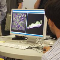
My academic background is in geography, where I trained in geospatial technologies and natural-human system interactions. My technological expertise in GIScience includes remote sensing analysis, geospatial modeling, lidar analysis, participatory webGIS and field-based monitoring. I often use a suite of these tools to address an environmental problem and engage with interested stakeholders. My graduate and practical experience allowed me to develop a comprehensive and inclusive view of geoinformatics: my technological expertise in GIScience is not focused on GIS alone, but includes cartography, spatial modeling, remote sensing analysis, object-based image analysis, lidar analysis, participatory webGIS and field-based monitoring - and often the intersections between these. I often use a suite of these tools to address an environmental problem and engage with interested stakeholders. My CV can be found here, my Google Scholar page is here and my Research Gate page is here.
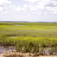
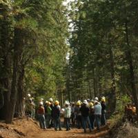
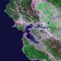
The systems I focus on vary in type and scale, and include Sierra Nevada forests, San Francisco Bay wetlands, the California delta, and urban neighborhoods; but all of them are managed landscapes with a complex spatial structure that can be mapped using geospatial tools, and all of them have an interested group of stakeholders for whom the research results have importance. For more information on selected projects, please see the sidebar at the right.
Research Publications
I have published over 100 papers, chapters and reports in a range of ecological and geospatial journals. My recent publications continue to highlight work in GIS and remote sensing (with recent emphasis on lidar); I have been concentrating more on web and participatory work; and my projects have focused on California forests, rangelands, and wetlands. Many of my publications are available, with descriptions, on my publication page.