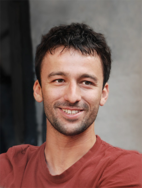
Marek Jakubowski


Before coming to Berkeley, I studied imaging science at Rochester Institute of Technology and worked in the remote sensing industry for a limited period of time. This encompassed a wide variety of topics, from sensor and optics design, to extracting information from imagery, to gener ating synthetic and scientifically-accurate imagery (modeling). I concentrated my studies in remote sensing, specifically in analysis of high spatial resolution, hyperspectral data. Most of this work was theoretical, so for my PhD I wanted to get my feet wet and apply this background to real-life applications.
During PhD, my research focused on using remote sensing and GIS to learn about forests in California's Sierra Nevada mountain range. Specifically, my work concentrates on LiDAR data analysis and how it may be used for fire behavior models. Further, I am interested in the limits of LiDAR as a tool used for delivering information about a terrestrial area: What, how much, and how accurately can we learn about an ecosystem? What quality of data is necessary to deduce reliable information? Do different type of analyses (e.g. OBIA) improve the results?
More recently, I was involved in a project to design a new satellite sensor to detect fires just as they start burning. The idea is to look for the fires continuously across California and western USA while they are still small: a really fun project that resulted in a paper and even some press!
My research mostly involves developing new computer algorithms to analyze data, although I spent two summers doing fieldwork in the deep Sierran forests, collecting data for my research projects. I am currently also fascinated with data science, data visualization, and in general, making science/data/complex concepts accessible to the general public in creative and engaging ways!
When I'm not doing research, I love to design magazines, maps, data visualizations, and illustrations not to mention rock climb!
Download my resume on my personal website: marekjakubowski.com
PUBLICATIONS
Pennypacker, C.R., Marek K. Jakubowski, M. Kelly, M. Lampton, C. Schmidt, S. Stephens, R. Tripp, 2013. “FUEGO—Fire Urgency Estimator in Geosynchronous Orbit—A proposed early-warning fire detection system,” in Remote Sensing, 5(10):5173-5192.
Marek K. Jakubowski, W. Li, Q. Guo, M. Kelly, 2013. “Delineating individual trees from lidar data: A comparison of vector- and raster-based segmentation approaches,” in Remote Sensing, 5(9):4163-4186.
Marek K. Jakubowski, Q. Guo, M. Kelly, 2013. “Tradeoffs between lidar pulse density and forest measurement accuracy,” in Remote Sensing of Environment, 130(15):245–253.
Marek K. Jakubowski, Q. Guo, B. Collins, S. Stephens, M. Kelly, 2013. “Predicting surface fuel models and fuel metrics using lidar and CIR imagery in a dense, mountainous forest,” in Photogrammetric Engineering & Remote Sensing, 79(1):37–49.
Li., W., Q. Guo, Marek K. Jakubowski, M. Kelly, 2012. “A New Method for Segmenting Individual Trees from the Lidar Point Cloud,” in Photogrammetric Engineering & Remote Sensing, 78(1):75-84.
Blanchard, S.D., Marek K. Jakubowski, M. Kelly, 2011. “Object-Based Image Analysis of Downed Logs in Disturbed Forested Landscapes Using Lidar,” in Remote Sensing, 3(11):2420-2439.
Marek K. Jakubowski, D. Pogorzala, T. J. Hattenberger, S. D. Brown, J. R. Schott, 2007. “Synthetic data generation of high resolution, hyperspectral data using DIRSIG,” in Imaging Spectrometry XII, S. Shen and P. Lewis, eds., Proceedings of SPIE 66610G.