Thursday
Jan152009
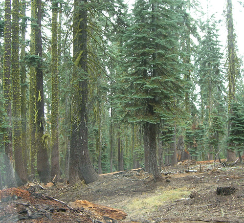
Georeferenced historic photos in Yosemite
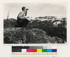
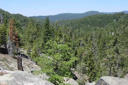
I saw this guy present his project about revisiting sites of historic photography in Yosemite (1980's and 1910's,1920's). Obviously, it reminded me of our own VTM project.
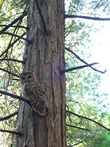
 Marek | in Google Maps, ecology, field pics, gps, location-based, mashup, mobile, vtm, webgis | Share Article
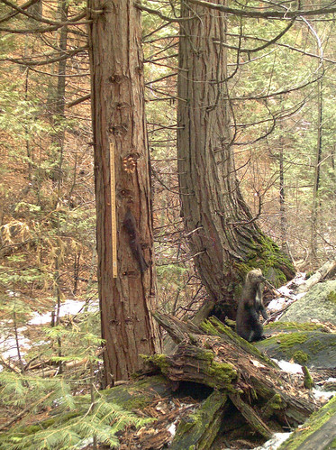