Saturday
Apr232016
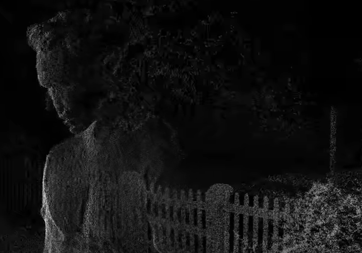
Another rad lidar music video
 https://www.youtube.com/watch?v=XBUdCBxrhZo
From NZ no less.
geospatial matters
Please read the UC Berkeley Computer Use Policy. Only members can post comments on this blog.
https://www.youtube.com/watch?v=XBUdCBxrhZo
From NZ no less.
No cameras or lights were used. Instead two technologies were used to capture 3D images: Geometric Informatics and Velodyne LIDAR. Geometric Informatics scanning systems produce structured light to capture 3D images at close proximity, while a Velodyne Lidar system that uses multiple lasers is used to capture large environments such as landscapes. In this video, 64 lasers rotating and shooting in a 360 degree radius 900 times per minute produced all the exterior scenes. And here's the 'making of' video:
 Maggi
Maggi