blog authors
past blog entries

Welcome to the Kellylab blog

geospatial matters

Please read the UC Berkeley Computer Use Policy. Only members can post comments on this blog.

Entries in class (31)

Monday
Aug292016

This year's class: the why, how and what of GIS

Here are the tag clouds from this year's GIS class: the why, how and what of our upcoming semester's projects. Word clouds from Wordle.

The Why: what are the key problems class members want to focus on...

 The How: possible methods we will use...

 The What: some of the datasets that might be used...

Off to a great start!


Tuesday
Apr192016

Wall-E was right

Landsats - active and decommissioned

Used in my MDP lecture today, and so posting so I can find it easily later! 

http://apps.agi.com/SatelliteViewer/

Great web app for viewing current satellite orbits.

More detailed info here:  http://qz.com/296941/interactive-graphic-every-active-satellite-orbiting-earth/

Saturday
Apr022016

Spatial Data Science Bootcamp 2016!

Last week we held another bootcamp on Spatial Data Science. We had three packed days learning about the concepts, tools and workflow associated with spatial databases, analysis and visualizations. Our goal was not to teach a specific suite of tools but rather to teach participants how to develop and refine repeatable and testable workflows for spatial data using common standard programming practices.

2016 Bootcamp participants

On Day 1 we focused on setting up a collaborative virtual data environment through virtual machines, spatial databases (PostgreSQL/PostGIS) with multi-user editing and versioning (GeoGig). We also talked about open data and open standards, and moderndata formats and tools (GeoJSON, GDAL).  On Day 2 we focused on open analytical tools for spatial data. We focused on Python (i.e. PySAL, NumPy, PyCharm, iPython Notebook), and R tools.  Day 3 was dedicated to the web stack, and visualization via ESRI Online, CartoDB, and Leaflet. Web mapping is great, and as OpenGeo.org says: “Internet maps appear magical: portals into infinitely large, infinitely deep pools of data. But they aren't magical, they are built of a few standard pieces of technology, and the pieces can be re-arranged and sourced from different places.…Anyone can build an internet map."

All-in-all it was a great time spent with a collection of very interesting mapping professionals from around the country. Thanks to everyone!

Tuesday
Mar082016

IGIS exploring applications of drones for UC Agriculture and Natural Resources

IGIS is excited to be working with 3D Robotics (3DR) to explore new applications of small unmanned aerial systems (sUAS) for monitoring agriculture and natural resources.  This technology has never been more practical for scientific exploration; however, there is still much to be learned about how to best utilize sUAS in this way.

DEM from drone flightIGIS is now developing protocols for safe and efficient deployment of a 3DR Solo sUAS.  Equipped with a common 12 megapixel GoPro Hero camera, this platform can survey up to 75 acres, at 3 inches of spatial resolution in less than 20 minutes, while flying a pre-defined flight path at 23 miles per hour, at 300 feet above ground level.  Then thanks to Pix4D mapping software, which is used to combine the pictures collected by the sUAS's GoPro into a single image mosaic, automated photogrammetric processes can render a digital terrain model from the images with a vertical accuracy close to the same 3 inches spatial resolution found in the original image collection.

IGIS has introduced sUAS and remote sensing training into our workshop schedule for this year.  Please check out our IGIS training calendar by Clicking Here for more information.

Friday
Jan152016

ESRI @ GIF Open GeoDev Hacker Lab

We had a great day today exploring ESRI open tools in the GIF. ESRI is interested in incorporating more open tools into the GIS workflow. According to www.esri.com/software/open, this means working with:

  1. Open Standards: OGC, etc. 
  2. Open Data formats: supporting open data standards, geojson, etc. 
  3. Open Systems: open APIs, etc. 

We had a full class of 30 participants, and two great ESRI instructors (leaders? evangelists?) John Garvois and Allan Laframboise, and we worked through a range of great online mapping (data, design, analysis, and 3D) examples in the morning, and focused on using ESRI Leaflet API in the afternoon. Here are some of the key resources out there.

Great Stuff! Thanks Allan and John

Sunday
Nov292015

Hold the date! January 15th for a workshop on Open Tools with ESRI

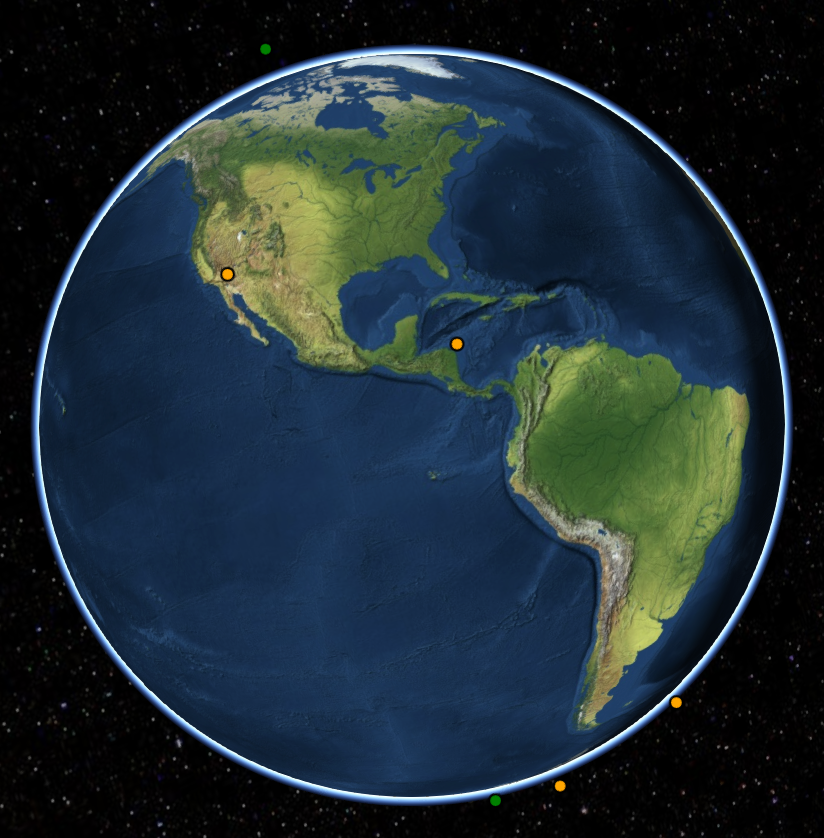
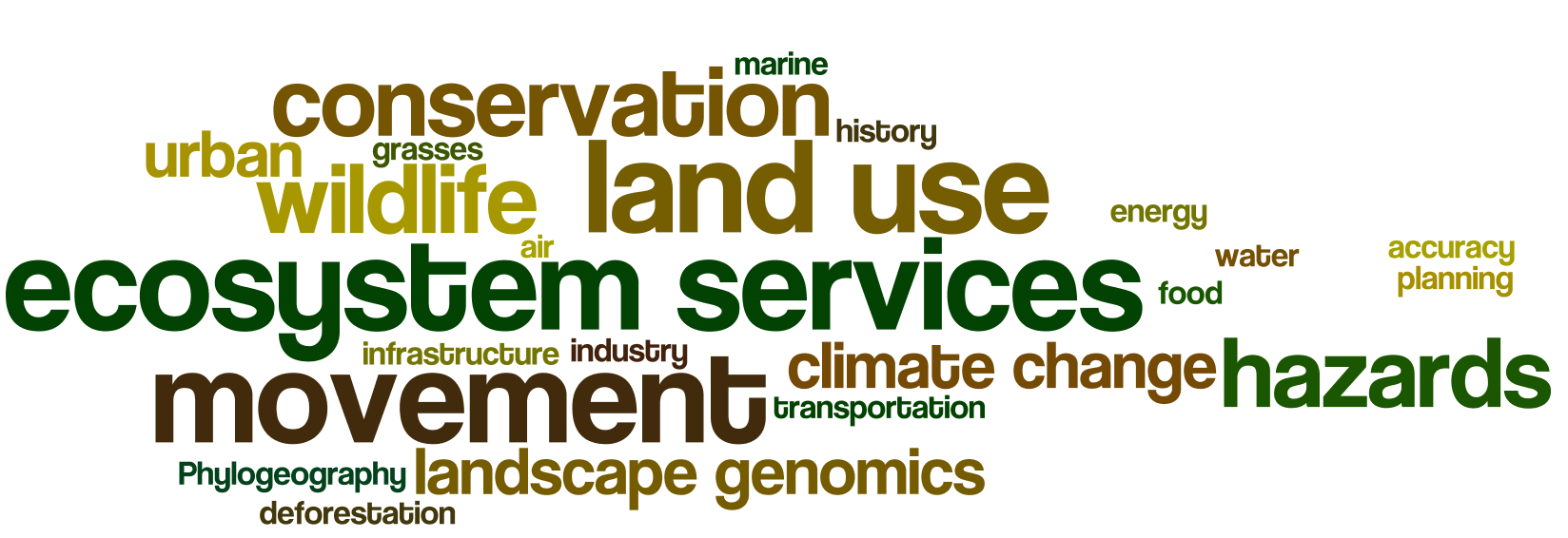
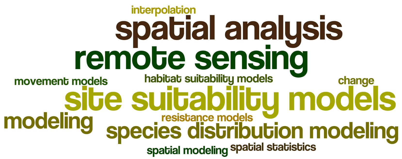
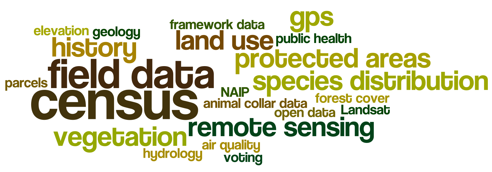
On January 15th we will hold a full day free workshop on Open Mapping Tools using ESRI. 

Welcome to the Esri GeoDev HackerLab. This is an eight-hour, mentored, hands-on lab for developers (novice or experienced) where you will learn how to build maps and apps for the web, devices, and desktops using ArcGIS and other technologies. 

Here is what we will cover:

1. A brief intro to ArcGIS Online for developers. Get the free dev subscription and we put the tools right into your hands.

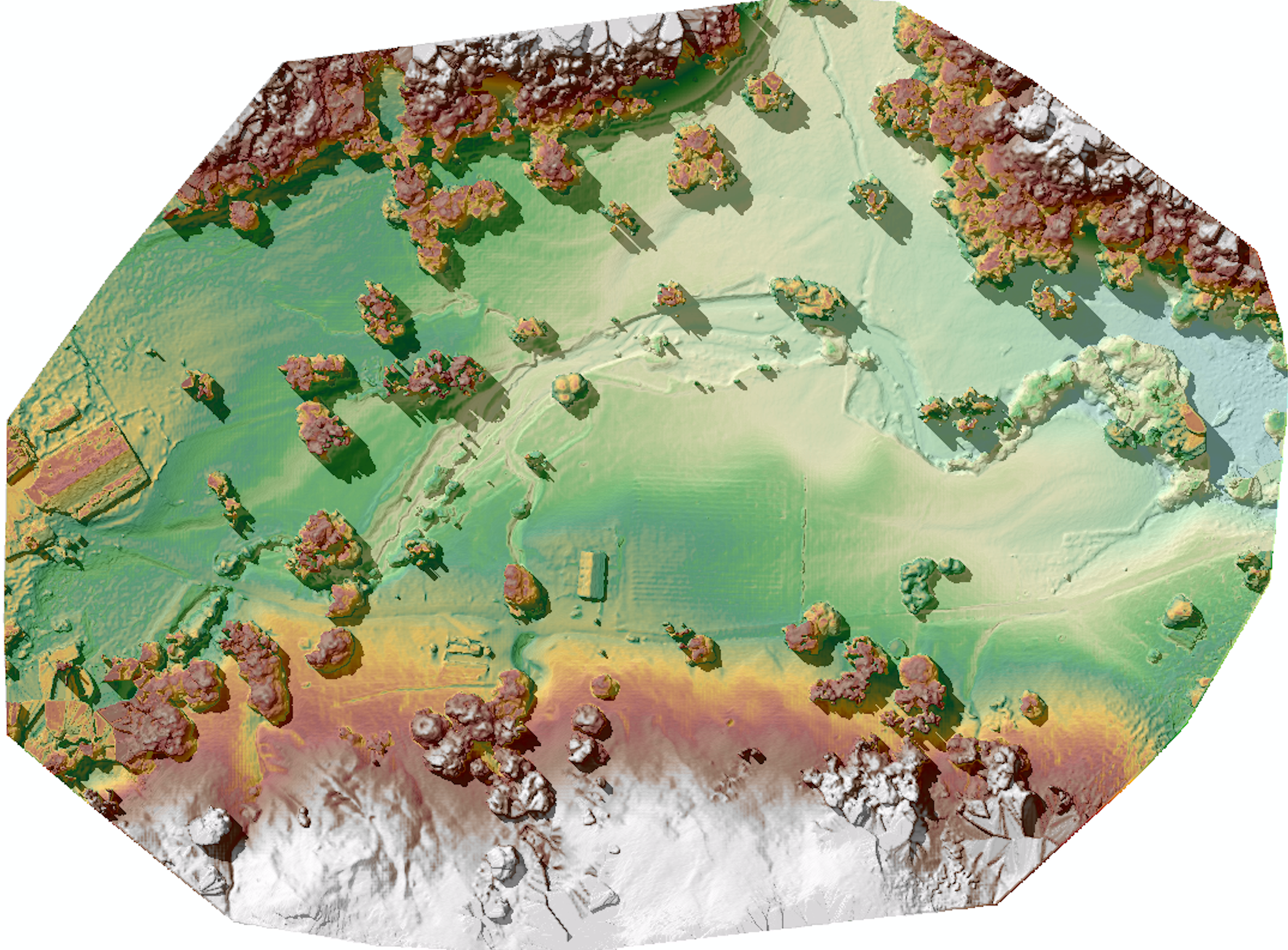
2. Data: Search, find, connect to, import, edit, collect, translate, convert, and host datasets and web services. You will also use a variety of cloud-based geoanalytical tools to make better sense of the data and export new datasets for your apps to use.

3. Design: Create web maps tailored to the needs of your end users using layer selection, thematic rendering, popups, and more.

4. Develop: Build customized apps with or without code, using templates, builders, APIs, and SDKs, from Esri and from other popular open source technologies.

The labs are divided into modules that you can do in any order. Choose ones you want to learn, and skip those you already know. You can bring your own data or use tutorial data that we provide. Use web maps of your own or build ones on-site during the lab. If you are a coder, dig into APIs and SDKs from Esri or compatible open source libraries. If you aren’t a coder, you can still build highly customized production-ready apps using templates and builders.

The tutorials are going to be led by developers from Esri, who will either guide you along the way or assist you as you choose your own learning path. 

Stay tuned for sign-up information!

Friday
Nov132015

California Economic Summit wrap-up

my wordle cloud on topics commonly discussed at the summit

I spent two days at the California Economic Summit, held this year in Ontario, heart of the "inland empire". I learned much about this region of the state that I know mostly as freeways connecting water polo games, or as endless similar roads through malls and housing developments. It is more populous, diverse, and vibrant than I had realized. The conference itself was very different from any that I have been to. Hardly any presentations, but break-out groups, passionate, inspiring panelists, tons of networking, good overviews, multiple perspectives, and no partisanship.

Here are some interesting facts about California that I did not know: 

  • 80% of CEQA lawsuits are related to urban infill development. Shocking. We need infill development as a sensible solution to a growing California. 
  • 1 in 3 children in the Central Valley live in poverty. 1 in 4 kids live in poverty in the inland empire. These rates are WORSE than they have been ever. 
  • The Bay Area is an anomaly in terms of education, income, health, voting rates, broadband adoption. The Bay Area is not representative of the state!
  • Think of a west-east line drawn across the state to demark the population halfway line. Where might it be? No surprise it is moving south. Now it runs almost along Wilshire Blvd in LA!
  • Empowering the Latino community in the state is going to be key in continued success. 
  • Broadband adoption around the state is highly variable: Latino, poor and disabled communities are far below other communities in terms of adoption. 
  • The first beer made with recyled water has been made by Maverick's Brewing Company. 
  • Dragon Fruit might be the new water-wise avocado. Good anti-oxidents, massive vitamin C, good fiber, etc. They taste a bit like a less sweet kiwi, with a bit of texture from the seeds. I don't think I'd like the quac, however. 
  • In 15 years, the state will be in a deficit of college graduates needed to meet skilled jobs. Those 2030 graduates are in 1st grade now, so we can do some planning. 
  • Access, affordability, and attainability are the cornerstones of our great UC system. 

In every session I attended I heard about the need for, and lack of collaboration between agencies, entities, people, in order to make our future better. Here is my wordle cloud of discussion topics, from my biased perspective, or course. 

Wednesday
Nov112015

Honorary Geographer Maya Lin

When entertaining out of town visitors in the Bay Area you have a bounty of choices. Many years ago I took visitors to SFMOMA and stumbled into a Maya Lin exhibit. It blew my mind, and I've been a fan ever since. (I've even invited her to give a geolunch talk, but alas it has not happened.) At that time, I had no idea she was the the designer of the Vietnam Veterans Memorial in Washington, D.C., which I found to be a sublime work of reverance. She makes art with strong clear forms that echo the earth. I think what she does resonates with me so much because the idea of spatial representation of geographic form is for me the heart of all we do in science, yet it allows for deep and immediate understanding of place. Whenever I see one of her pieces, I "get" it very quickly, and always feel a little bit happier. Art, what can you say. 

Maya Lin: SF Bay @ Brower CenterShe had a small installation recently in the Brower Center in Berkeley. It was lovely. I can't find it on her website, so you will have to trust this. I include one picture here at left.  It is a representation of the Bay, made in some kind of metal, mounted flush on the wall.  In the same show she had a model of the Sacramento River made from silver stick pins, also mounted on the wall - very fluid and playful with light. I use a slide of her model of the SF Bay shown here as an into into my lectures on modeling (also a shot of the weird and wonderful SF Bay model in Sausalito, more about that anon). 
Her most recent work at the Smithsonian's newly renovated Renwick Gallery uses green marbles to model the Chesapeake Bay. It is a stunning piece, I wish I could be there. I read about the work here.  
Maya Lin: Chesapeake Bay, Smithsonian
Her description of a recent (2008) installation at the California Academy of Sciences in SF "Where the Land Meets the Sea" says: "By using science and technology in her artwork to create new ways of looking at the environment, Maya Lin's work inspires viewers to pay closer attention to the natural world." I think that is true, but it is also true that it is pleasing because it is so apart from the natural world and yet so resonant with it. If that makes any sense. The work is below:
Maya Lin's Where the Land Meets the Sea at Cal Academy in 2008
In that piece (picture above) modeling the shape of the SF Bay, the terrain (or bathymetry) is based on data supplied by the U.S. Geological Survey, among others, and represents a 1:700 scale with a vertical exaggeration of 5 times above sea level and 10 times below. Sea level is 18 feet above the terrace.
Looking forward to seeing more of her work, in person if possible. 


Wednesday
Oct142015

GIS-related courses for Spring 2016

Hello World!

There are several GIS classes to chose from in the spring. So far we have: 

Lower division:

  • ESPM 72 Geographic Information Systems *Not sure who is teaching this yet*

Upper division:

  • Biging, G & Radke, J ESPM 177 GIS and Environmental Spatial Data Analysis
  • Chambers, J    GEOG 185    Earth System Remote Sensing   
  • O'Sullivan, D   GEOG 187 Geographic Information Analysis

Graduate:

  • Radke, J    LDARC 221    Quantitative Methods in Environmental Planning
  • Dronova, I LDARC 221 Applied Remote Sensing
  • Chambers, J GEOG 285 Topics in Earth System Remote Sensing
  • Wang, I   ESPM 290 Special Topics in Environmental Science: Spatial Ecology

Email me with others. 
Thanks!

Wednesday
Sep162015

It is raining on the Valley Fire, thank goodness

Been addicted to the ESRI fire feed for its integration of numerous data sources. 

Here is the Valley Fire currently, and the rain that just hit us has moved north. 

For more: http://www.esri.com/services/disaster-response/wildlandfire/latest-news-map