Saturday
Nov062010
Google Maps border becomes part of international dispute
 Saturday, November 6, 2010 at 2:05PM
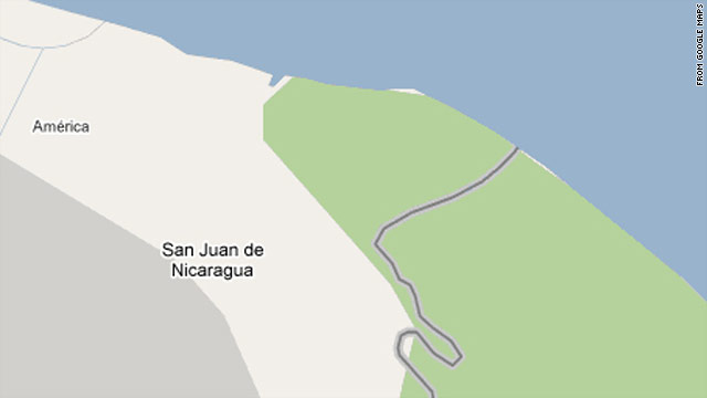
(CNN) -- The accuracy of Google Maps has been pulled into a debate about the border between two Central American countries.
A Nicaraguan general cited Google's version of the border map as an after-the-fact justification of a reported raid of a disputed area between that country and Costa Rica.
http://www.cnn.com/2010/TECH/web/11/05/nicaragua.raid.google.maps/index.html
 Mark | in
  Google Maps,
  accuracy,
  geography |
Reader Comments