Thursday
Aug132015
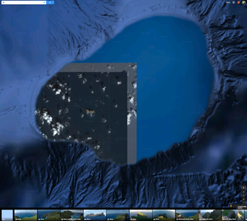
Funny pic on Google Maps
 Thursday, August 13, 2015 at 10:08AM
  This is the island of Nihoa, northwest of Kauai, viewed in Google Maps. Hawaii on my mind. Anyway, it is a funny shot with mixed resolutions, bathymetry and optical imagery, and what looks to be a bordered image without its adjacent partner images. Web link: https://www.google.com/maps/@23.0606579,-161.8639537,39656m/data=!3m1!1e3
 Maggi | in
  Google Maps,
  cartography,
  remote sensing |
Reader Comments