blog authors
past blog entries

Welcome to the Kellylab blog

geospatial matters

Please read the UC Berkeley Computer Use Policy. Only members can post comments on this blog.

Monday
Jun062016

New fire alert web mapping application

Want to keep tabs on fire incidient near you, your friends or family? Want to create an alert for your vacation cabin?Maybe just curious about digging deep into incident reports? The US Forest Serivce has released a beta web mapping application to do all that and more. Check it out!

Monday
May162016

Mapping the Housing Divide

The Washington Post, using data from Black Knight Financial Services, recently published an amazing series of maps showing disparities in the United States' housing recoveries.  They argue that these disparities have exacerbated inequality and have particularly worked against Americans of moderate means and minority neighborhoods.  Check the full article out here and explore the maps.  

Monday
Apr252016

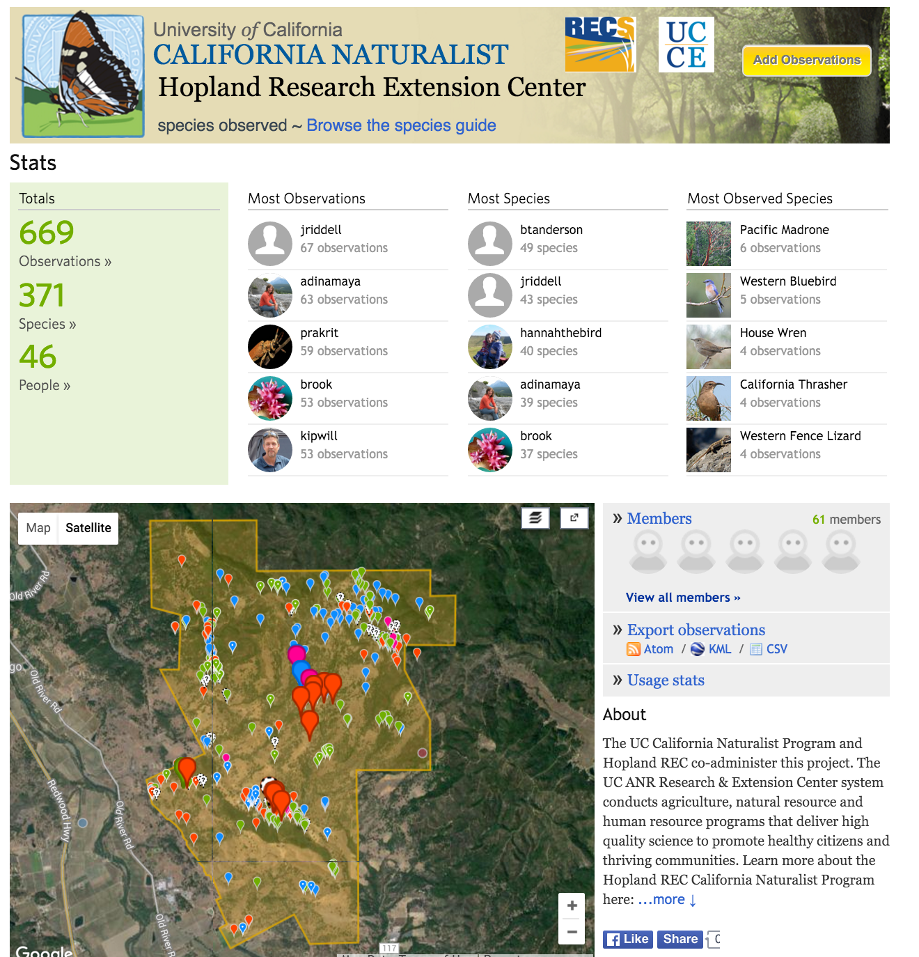
Wrap up on the Hopland Bioblitz 2016

This text excerpted from the Hopland Newsletter:

Over 70 scientists and naturalists descended upon HREC from  April 8-10th in our first Hopland Bioblitz. During the weekend over 400 species from the recently discovered blind silverfish to the characterful kangaroo rat were observed and recorded on the HREC iNaturalist page

You can still get involved with our bioblitz efforts by logging onto our iNatualist page and seeing if you can help to identify any unknown species. Enjoy more of our discoveries by taking a look through our photography competition entries.

This bioblitz was supported by a grant from the University of California Agriculture and Natural Resources and was organized by Kip Will, Maggi Kelly, George Roderick, Rosemary Gillespie. IGIS's Shane Feirer helped set up the IT infrastructure for the day.

Saturday
Apr232016

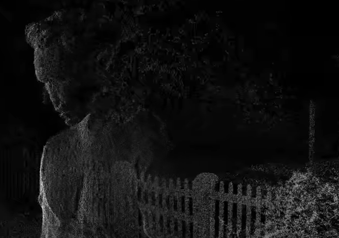
Another rad lidar music video

Tuesday
Apr192016

Wall-E was right

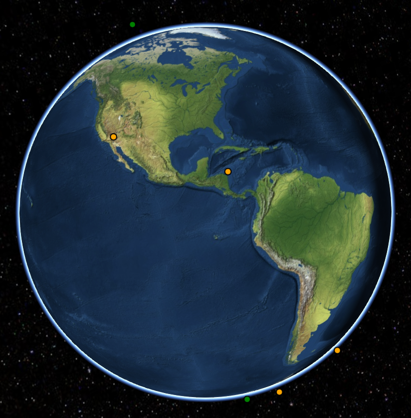
Landsats - active and decommissioned

Used in my MDP lecture today, and so posting so I can find it easily later! 

http://apps.agi.com/SatelliteViewer/

Great web app for viewing current satellite orbits.

More detailed info here:  http://qz.com/296941/interactive-graphic-every-active-satellite-orbiting-earth/

Friday
Apr082016

Hopland Bioblitz is on!

Our big Hopland scientific bioblitz is this weekend (9-10 April, with some events on the 8th) and I look forward to seeing many of you there. If you can't make it to HREC, there are many ways you can remotely help us and check out what is happening all weekend long.

HELP US OUT. http://www.inaturalist.org/ Many people will be using iNaturalist to make and share observations. Helping out the effort is easy. Look for observations at the iNaturalist site by searching for "Hopland" in the "Projects" pulldown menu and choose "Hopland Research Extension Center". Once there, you can browse the plants and animals needing identification and needing confirmation. Every identification counts toward our goal of massively increasing the knowledge of the HREC's flora and fauna.

VOTE ON IMAGES.  http://www.hoplandbioblitz.org/ We are hosting an image contest for the plants and animals of HREC. Great prizes will be given  for images that get the most votes(REI gift cards and a GoPro grand prize!). Please visit the site and vote for your favorites frequently during the weekend and share them and then sit back and what the slide show.  

CHECK US OUT. http://geoportal.ucanr.edu/# Our new app will graphically show you our progress for the bioblitz observations. Results will be updated every 15 minutes. See how your favorite groups are doing in the challenge to document as many species as possible.

Look for #HoplandBioblitz on Twitter and Instagram

Follow along on Facebook https://www.facebook.com/HoplandREC/

Saturday
Apr022016

AAG 2016 wrap up

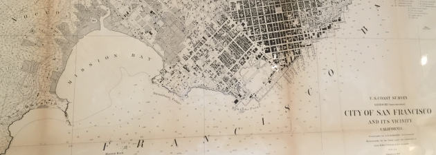
1870s-ish map of SFAside from all the sunshine, architecture, maps, and food, at the 2016 AAG conference Kelly and I participated in four organized sessions on Historical Ecology. On Saturday, we heard from a number of fantastic researchers, and here is my wrap-up.  (Alas, these sessions overlapped with sessions on CyberGIS, Who says you can't be interestd in both? cyber-historical-environmental-spatial-data-science.)
  • History: We heard from researchers working on data from the Holocene, to pre-history, to the 20th century.
  • Focus: Ecosystems included prairie, forests (Maryland, New York, California, Florida, Ohio); and Wetlands (China, California, etc.); Land Use and Agriculture (Mexico, Brazil); Fire (Arizona); and biological collections. 
  • Data included inventory (PLS system: land appraisal value; Cadastral surveys); Imagery (Landsat, aerial imagery); and biological (paleo; tree ring; resurveys; pollen records; bird census; and PLS system: witness trees, survey lines, FIA data). 
  • Methods: Comparison between past and present from existing inventory data, as well as comparison between historic and modern resurveys; digitization of multiple data sources; narrative analysis; ecological modeling; ecosystem services modeling; fire behavior modeling; OBIA of historic imagery; and some really neat modeling work. 
  • Emerging Themes from the sessions included: 
    • Data. Most people used digital data from an existing source - websites, clearinghouse, existing digital source. Many digitized their data. One person used an API. 
    • Accuracy. About half of speakers have thought about, or incorporated understanding of data quality or uncertainty in your work; but this is difficult to do quantitatively. Some people use the 'Multiple lines of evidence' from diverse datasets to increase confidence in results. 
    • Tools. We heard about a number of tools, including GIS as desktop tool, Open tools, Backcasting with landcover models, Complex modeling approaches, One paper used OBIA methods, and one paper discussed Big historic data (maybe moving toward the cyberGIS overlap). 
    • Theoretical frameworks: A few papers used resilience as a framework, social, ecological and coupled; and several papers used a landscape ecology framework. 
    • New terms: I learned a new term: “Terrageny”: a record of how a landscape became fragmented through time, containing information on the ‘ancestry’ of fragments and showing how an initially continuous landscape was progressively divided into fragments of decreasing size. Ewers et al. 2013. Gorgeous word. Must incorporate into cocktail party discussion. 

We also sent out a survey to the speakers prior to the talks, and here are some preliminary results. 

Question: What are the three top challenges that you see for historical ecology research?
  • Data/Logistical/Availability
    • The further back in time we look, the more sparse the data. 
  • Technical 
    • Lack of metadata: Current data deluge may attract attention/urgency away from the discovery and digitization of historical data;
    • Few models capable of incorporating human and environment interactions over long time scales. 
  • Theoretical
    • Maintaining perceived relevance in the context of the novel ecosystem/no-analog system conversation - not having historical ecology be the baby that is thrown out with the bathwater.
  • Operational 
    • Many respondants mentioned issues with funding - these projects are by nature interdisciplinary, often require large programs to fund at achievable levels, and not many funding sources exist.
  • Communication
    • We need to focus on communicating the importance of understanding past conditions to inspire and guide current design proposals. 
Question: What exciting future directions do you envision for historical ecology research?
  • The importance of historical data and analysis:
    • Historical data is essential: Multi- Inter-disciplinary research needs historical research, particularly so that we can understand 1) historical reference conditions, but also so that we can understand 2) when we might have novel interactions between species and ecosphere. 
  • Practicality of historical data and analysis: 
    • Historical ecology is critical for restoration projects and for studying climate change, and for its power to communicate through environmental education with the public.
  • New data/Big data/Data Fusion: 
    • Increase in digitally available historical sources (longer ecological and climate records and reconstructions), plus the availability of large, high-resolution datasets to assess change (thinking LiDAR, government reports, survey data...)  
    • There is also increasing sophistication of analysis and visualization tools.
    • But, the current data deluge may attract attention/urgency away from the discovery and digitization of historical data.

A fantastic time was had by all!

Saturday
Apr022016

Spatial Data Science Bootcamp 2016!

Last week we held another bootcamp on Spatial Data Science. We had three packed days learning about the concepts, tools and workflow associated with spatial databases, analysis and visualizations. Our goal was not to teach a specific suite of tools but rather to teach participants how to develop and refine repeatable and testable workflows for spatial data using common standard programming practices.

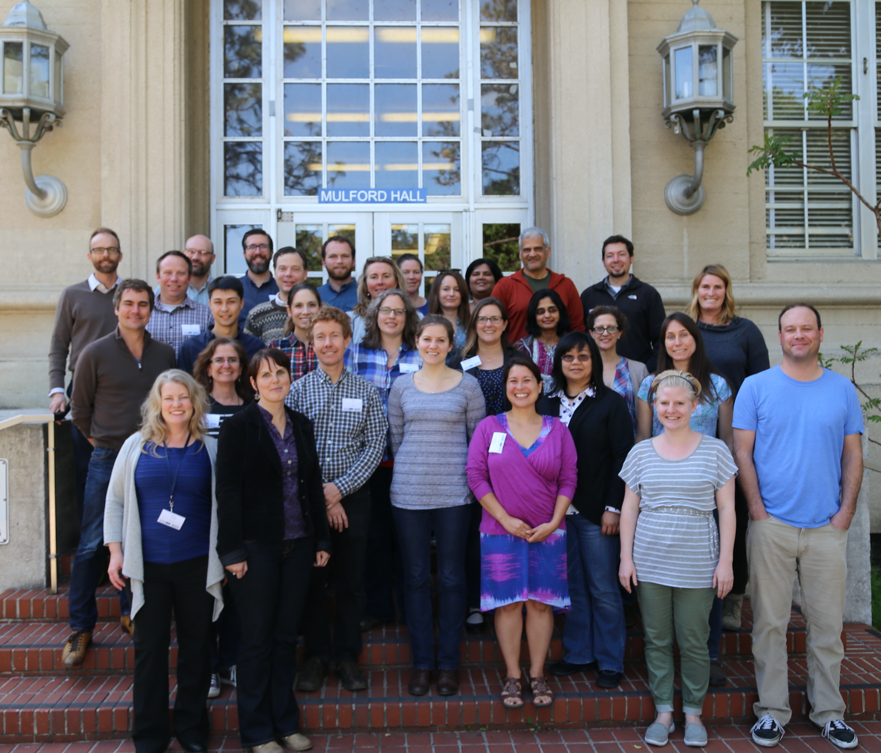
2016 Bootcamp participants

On Day 1 we focused on setting up a collaborative virtual data environment through virtual machines, spatial databases (PostgreSQL/PostGIS) with multi-user editing and versioning (GeoGig). We also talked about open data and open standards, and moderndata formats and tools (GeoJSON, GDAL).  On Day 2 we focused on open analytical tools for spatial data. We focused on Python (i.e. PySAL, NumPy, PyCharm, iPython Notebook), and R tools.  Day 3 was dedicated to the web stack, and visualization via ESRI Online, CartoDB, and Leaflet. Web mapping is great, and as OpenGeo.org says: “Internet maps appear magical: portals into infinitely large, infinitely deep pools of data. But they aren't magical, they are built of a few standard pieces of technology, and the pieces can be re-arranged and sourced from different places.…Anyone can build an internet map."

All-in-all it was a great time spent with a collection of very interesting mapping professionals from around the country. Thanks to everyone!

Friday
Apr012016

ASTER Data Open - No April Fools!

We know about the amazing success for science, education, government, and business that has resulted from the opening of the Landsat archive in 2008. Now more encouraging news about open data:

On April 1, 2016, NASA's Land Processes Distributed Active Archive Center (LP DAAC) began distributing ASTER Level 1 Precision Terrain Corrected Registered At-Sensor Radiance (AST_L1T) data products over the entire globe at no charge. Global distribution of these data at no charge is a result of a policy change made by NASA and Japan.

The AST_L1T product provides a quick turn-around of consistent GIS-ready data as a multi-file product, which includes a HDF-EOS data file, full-resolution composite images (FRI) as GeoTIFFs for tasked telescopes (e.g., VNIR/SWIR and TIR ), and associated metadata files. In addition, each AST_L1T granule contains related products including low-resolution browse and, when applicable, a Quality Assurance (QA) browse and QA text report.

More than 2.95 million scenes of archived data are now available for direct download through the LP DAAC Data Pool and for search and download through NASA‘s Earthdata Search Client and also through USGS‘ GloVis , and USGS‘ EarthExplorer . New scenes will be added as they are acquired and archived.

ASTER is a partnership between NASA, Japan‘s Ministry of Economy, Trade and Industry (METI), the National Institute of Advanced Industrial Science and Technology (AIST) in Japan, and Japan Space Systems (J-spacesystems ).

Visit the LP DAAC ASTER Policy Change Page to learn more about ASTER. Subscribe to the LP DAAC listserv for future announcements.

Friday
Mar252016

It's AAG time again!

The annual AAG conference is rolling into town next week, and several of us will be there. 

  • Kelly and Jenny will be presenting; 
    • Kelly: Disentangling drivers of change in California Forests: management and climate 
    • Jenny: Spatial Data Science for Collaborative Geospatial Research
  • Alice is a discussant on THREE panels; and 
  • I am a discussant on the Historical Ecology session. 

Former kellylabbers will also be in force: 

  • John Connors is presenting (and organizing, and morderating, and all kinds of things): 
    • Disentangling Diversity: Agrobiodiversity, Livelihoods, and Food Security in the Kilombero Valley, Tanzania
  • Desheng Liu will be there: 
    • Reconstructing Land Cover Trajectories from Dense MODIS Time Series
  • Ellen Kersten will be presenting:
    • Got health? Using spatial and temporal analysis to achieve health equity for children 

 Have a great time everyone! (If I have missed anyone, let me know!)