Monday
Apr302007
Obia for mapping dead trees
Guo, Q. C., M. Kelly, P. Gong and D. Liu. 2007. An object‐based classification approach in mapping tree mortality using high spatial resolution imagery. GIScience and Remote Sensing 44(1): 24–47
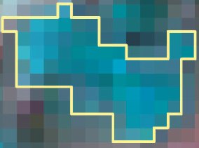 An object, defined by spectral similarity of neighboring pixelsWe developed an object-based approach, including an image segmentation process and a knowledge-based classifier, to detect individual tree mortality in imagery of 1 m spatial resolution. Pdf download.
in  gis, oaks, obia, remote sensing, sod
gis, oaks, obia, remote sensing, sod